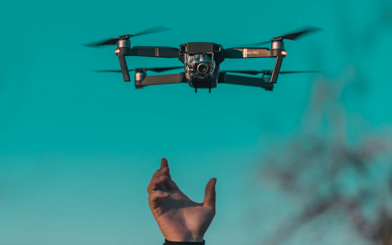
Osprey RTK

Mapping & volumes

Osprey RTK
Aircraft

Osprey RTK

Mapping & volumes

The Osprey flies automated grid lines with a corrected satellite fix, which is what makes the stitched output measurable rather than merely pretty.

Use it when someone downstream is going to take a distance or a volume off the image and act on the number.
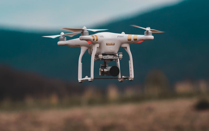
  • PositioningCorrected satellite fix
  • OutputStitched, measurable maps
  • PatternAutomated grid lines
  • Best forParcels, quarries, stockpiles

Book This Aircraft See The Fleet

Also In The Case

The Rest Of The Fleet

Kestrel M3

Listings & events
  • Camera 20MP, mechanical shutter
  • Airborne Up to 40 minutes
  • Frame Folding, cabin-sized case
  • Best for Homes, venues, short clips

Harrier T2

Inspection work
  • Camera Paired thermal and daylight
  • Readings Temperature-tagged frames
  • Wind hold Steady in a stiff breeze
  • Best for Roofs, arrays, plant rooms
Book Us

Send The Address.
We Will Take It From There.

Request A Quote